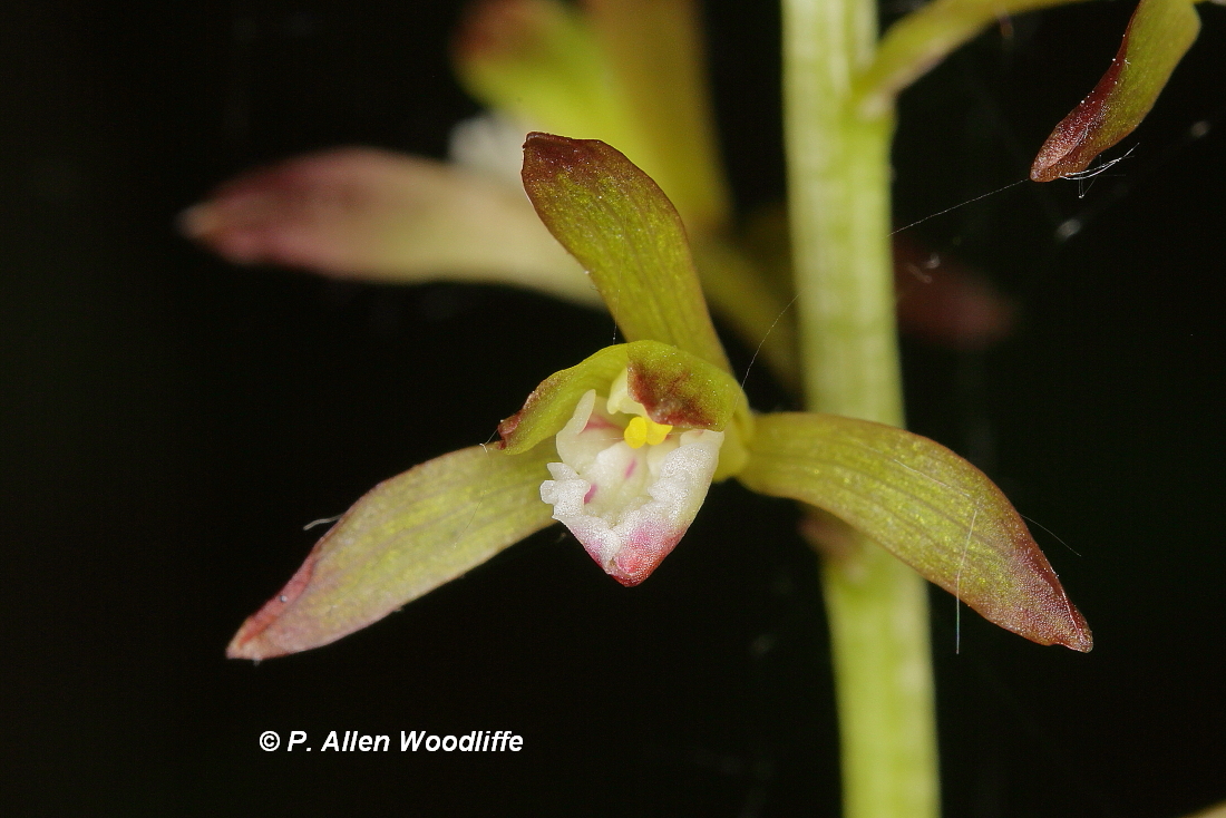
Wednesday, 19 June 2019

The Beckoning North

Once or twice a year we take a trip to North Bay to visit our daughter and her hubby. Our most recent trip was this past weekend. For those of us living in the very flat and largely denuded landscape of southwestern Ontario, it is a delight to travel to parts of this province where forests, hills, rocks, and lakes predominate! Not that we are contemplating moving to that more northern landscape any time soon. The biological diversity of our extreme southwestern landscape, as limited as it is, is far greater. So here we stay, at least for now.

We really feel that once we get north of Barrie, and better yet, north of Orillia, we can start to enjoy the north, getting farther and farther away from the hustle and bustle of the south and especially the GTA. We usually make a stop at a little place called Novar, where there is a spring that provides delicious, cold water, and we fill up several jugs. These first two photos are taken at the point where we exit off of Hwy 11 to get to the Novar spring.


While the main purpose of our trip is to visit family, there are a few quite accessible spots that I try and make a point of exploring. For example right within the city limits of North Bay is a 97 hectare (240 acre) conservation area known as Laurier Woods. There are several kilometres of trails that go through forest, across rocky outcrops and across or adjacent to wetlands. Most of the trails are quite easy going, as shown in the next two photos, but there are steeper and rockier sections.
There are quite a few multi-stemmed trees, such as the White Birch in the next photo, an indication of the historical timber cutting that went on here many decades ago.
 Some parts of the forested section are relatively open at ground level, as the previous two photos show. Other sections are covered with ferns or other vegetation.
Bracken Fern
Cinnamon Fern
 There were a lot of Bunchberry plants...
...and we noticed a single Pink Lady's-slipper, a.k.a. Moccasin Flower.
 We were serenaded by territorial Chestnut-sided Warblers.....
 ....and Veerys, as well as various other species.
Some sections were quite open with lots of stunted trees on the bare or moss-covered rock.
 It was in these more open areas where we saw Canadian Tiger Swallowtail, shown below, as well as a few skippers. From what I could tell, all of the skippers were Hobomoks.
There are many wetland areas.
 Of course the presence of Beavers are frequently noted, although the Beavers themselves are seldom seen in daylight hours.

 To control the water levels behind one of the beaver dams, a large pipe was put in place well behind the dam, and going through the top to allow an escape of high water so as to not take out the bridge I am standing on to take this photo.
 One of the most attractive wetland flowers on this excursion was Wild Calla.

The Laurier Woods Conservation Area, as wonderful an asset it is to the community of North Bay, is not pristine. There is a scrap metal recycling depot visible across one wetland area. Another section of the trail system shows a car dealership across the way.
Nevertheless some of the wildlife don't seem to mind, as this log in the middle of the previous photo is being well used by more than a dozen Painted Turtles.
Another section of the trail system has the Trans Canada highway in the background, although it often is not very busy and is far enough away that the traffic noise is not all that bothersome.

Another very accessible location I typically check out is Champlain Park, at the extreme southern extent of North Bay and along the waterfront of Lake Nipissing. There aren't many accessible trails, but a fair bit of water front to explore. This park has historical significance, as the La Vase River empties into Lake Nipissing here. This river connects Trout Lake and Lake Nipissing and was an important part of the route for the voyageurs travelling from Montreal through the various rivers such as the St. Lawrence and Ottawa on their way to points farther west. It was used by First Nations of the area for many years, and it was those First Nations guides that brought it to the attention of early European explorers such as Samuel de Champlain and Etienne Brule. This next photo, which I took on a previous trip in April of 2016, shows the river as it empties into Lake Nipissing.
The water was much higher this year, as is the case for many lakes and rivers in Ontario. The boat launch and adjacent dock were under water, and the shoreline of the river was flooded. Of course that meant a more extensive feeding ground for water birds, such as this Great Blue Heron.
 I didn't see exactly what the heron captured, but this next photo shows it being swallowed.
There is always something to explore and enjoy in the greater North Bay area.

Thursday, 13 June 2019

Lake McLean, flooding, orchids and butterflies

There is a new lake in Chatham-Kent. Well not totally new, as part of it has been around due to the high water levels of the last couple of years. But currently it is at likely close to the largest size it has ever been. I'm talking about the flooded fields at Keith McLean Conservation Lands. For those of you who had been there over the last year or so, searching for bird rarities such as Red Knot, Snowy Egret, Glossy Ibis, Black-necked Stilt or Nelson's Sparrow, or even just out enjoying some of the other 208 species of birds now known for the area, or the general landscape, you will know that parts of it have been more than a little wet. But if you haven't been there in the last few weeks, you may be quite surprised.

I was there just last Saturday for the first time in several days. This first photo is taken from Google maps, and shows a good portion of the most accessible part of the KMCL. (Click on the image for a larger version.) The blue line encloses what I have named Lake McLean, where the current water levels have invaded on the agricultural fields. The P is the parking lot, the B is the bridge, the W is the wetland area shown in the second photo which has been under water for well over a year. The M is the wetland along the causeway. I used to live right across from Keith McLean's place, and knew him quite well at the time. He told me that he remembered a time when the water levels were so low that the area I've marked as M was dry enough one year that they actually plowed it and planted a crop! I think the farmer who normally puts a crop in on the McLean property this year will be severely curtailed in his efforts.
 I took this next photo while standing on the bridge that crosses the creek system, marked as B on the map above, and looks onto the area marked as W.
 The creek has always been very close to the field, of course, but as the water in the creek rose, it got perilously close to the top. In the next photo you may be able to see the brownish colour on the vegetation at this very narrow point, as the water spilled over from the creek and flowed into the field. These next photos were taken at a time when the water levels were actually down a slight bit.
 These next two photos were taken from the road.  I am standing with my heels at the edge of the pavement, and the water is only a couple of metres away. These were taken on Saturday, June 8. When I came by on June 12, it was even worse. In fact I couldn't have stood at that same spot, as someone, possibly from the roads dept, had come along and piled mounds of earth all along the side of the road to prevent the water from spilling over across the road. At the beginning of this post, I indicated the current level might be close to having created the largest lake here. However I have 35mm slides of June 1985, when the water was actually spilling over the road at the bridge/causeway.
 The photo above shows the tops of some evergreen trees planted here several years ago, as well as a post. If you take a close look at what it says on the sign in the next photo, it says "No motor vehicles" and specifically shows ATVs, snowmobiles and motor bikes. I think they will have to update their sign to include motorboats!
 Water birds are, naturally, loving it. There have been lots of ducks using it from time to time, including this female Hooded Merganser.
 Great Blue Herons and Great Egrets are regularly seen, especially the former species. With the reports of several Snowy Egrets in various places in southern Ontario lately, I keep checking to see if one will show up here. So far none have, but a couple did show up last year.
 There are sometimes up to a couple of hundred gulls and terns using the lake. Caspian Terns are usually found around large bodies of water. I guess they consider Lake McLean a large enough body of water for now. It probably is a little late for gulls to consider the area as a nesting site, but who knows?
Almost all of the migrating shorebirds have left the area for their more northerly breeding grounds, but from mid May until just a few days ago, flooded fields like this were very attractive to shorebirds. In fact it was not uncommon to see a greater diversity and number of shorebirds in flooded fields than it was at sewage lagoons. In just a few weeks from now some shorebirds will be returning and may find these flooded fields, assuming they are still flooded, to be quite to their liking. Stay tuned.....

As mentioned, I have been back to Rondeau on a couple of occasions in the last few days. I wanted to do some more orchid photography, and was focusing on Puttyroot. I found 15 plants in flower, four of which are shown here. You can see the single faded leaf at the bottom of the stem.


 Another plant that I have been keeping an eye on is American Gromwell, which up until I re-discovered it at Rondeau in 2017, had not been seen in Chatham-Kent in at least 30 years.
 One of the purposes of my latest foray at Rondeau was to try and locate an Acadian Flycatcher nest that had been reported. It was not in the typical habitat, and in spite of my efforts, was not able to locate it yet. But I did come across lots of other birds including this recently fledged Brown Thrasher scurrying about in a shrubby tangle.
 The adults were very close by, keeping watch over their youngster and 'chucking' their alarm call on a regular basis.

 There were also lots of butterflies out along the trails and forest edges. I must have seen at least 50 Azure types, mostly flitting.
 Little Wood-Satyrs were scattered here and there, with their ditsy-doodling flight in the low vegetation.

 I came across at least a dozen skippers, almost all of which were Hobomok, and the only skipper I was able to photograph. The only other skipper I could tell for sure was my first of the season Silver-spotted Skipper.
Only a few more weeks until the butterfly count!

Friday, 7 June 2019

Orchids and herps: including some Species At Risk

Here in southwestern Ontario, there is a high percentage of species that are rare and even legally at risk. With the current provincial conservative government at the helm, which just a couple of days ago made severe cuts to the Endangered Species Act, the outlook for many species looks a lot bleaker than it did just a short while ago. If you want to know the latest regarding these changes, check out this link.

On one of our continuing forays around Chatham-Kent, Marie and I went up to the trails and access points along Lake St. Clair. My goal was to see and photograph Cattle Egret which has appeared from time to time, as well as Yellow-headed Blackbirds, which have been seen much more regularly. Both species, or at least the blackbirds, are believed to be nesting in some off-shore cattail islands, and come to the mainland to feed on lawns and at feeders. Unfortunately for us, we did not see either species. But it was still a nice outing.

Great Egrets, which nest near the southern end of Walpole Island, are fairly regular here.
 On a sunny day, turtles are up basking on almost any surface they can climb on to. The Northern Map Turtle, shown on this next photo, are a legally at-risk species with the status of Special Concern.
In the next photo, a Northern Map Turtle is sharing a log with several Painted Turtles. The Northern Map Turtle is easily identified by its jagged tail end of its shell, and the yellow lines on the greenish skin, appearing like contour lines on a map. Painted Turtles are not yet officially at risk according to the Ontario status, but they are being considered.
While out doing shorebird surveys at local sewage lagoons, I came across this rather large Eastern Fox Snake, which is Endangered. Since I only had my telephoto lens, and the snake was in the grass, I only got a head shot. It was a warm sunny day, and the snake didn't stick around for further modelling, and scurried off into denser vegetation and rocks lining the edge of the pond.

There are at least 19 species of orchids recorded at Rondeau, and some begin flowering at the end of May.

The earliest species is Showy Orchis. It isn't officially at risk yet, but the Ontario populations are being monitored to some extent to see if there has been enough of a decline to warrant some At Risk status in the near future.
It isn't abundant at Rondeau, but occurs in small numbers in several locations. There is lots of what appears to be very good habitat in the park.

Large Yellow Lady's-slipper is fairly abundant at places much farther north, like the Bruce Peninsula, but at Rondeau they are very rare. I know of three locations for them, although one seems to have disappeared in the last decade, and another just had two non-flowering stems appear this year. In 1980 I discovered another and much larger population, made up of at least 50 stems. The last time I saw this population was in 1987, and in all of those years I monitored it, I never saw any more than about a dozen plants in flower. I decided it was time to check on this population to see whether it still existed after this interlude of 30+ years. It is well off any beaten path, and I wasn't certain I could find it, but find it I did. I didn't cover the whole area, but covered enough of it to discover 11 plants in flower and about that many non-flowering plants. I was quite pleased to see that in spite of the high water levels of these last couple of years, the population was doing okay.

Puttyroot is not yet officially At Risk but like other species, is being evaluated for future consideration. There are at least 5 known locations for it at Rondeau, although only one population is of any size, and at least two of the others have not flowered for several years.
Sandy sites seem to be preferred by orchids. I went north, well at least to northern Lambton County, a few days ago, on the search for two other orchids which I had seen there in the past. The extensive Ipperwash Crown Land Reserve was my destination.

Pink Lady's-slipper is not at risk, and in fact is fairly widespread in parts of central Ontario. It is rare here in the southwest, but does occur in a few places.

My primary target, however was a much smaller and difficult to find orchid: Ram's-head Lady's-slipper. It is well represented in places like the Bruce Peninsula, but is extremely rare here in the southwest. In fact this very small population in the Ipperwash area is the most southern location for it in all of Canada. There were two plants in flower, and another 5-6 non-flowering plants. I photographed the tallest one which was less than 20 cm (8") tall. The other plant was about half that size.


Another orchid which I came across was Hooker's Orchid. I only saw the leaves of several non-flowering stems on this occasion, as I was not in the right part of the Ipperwash area where they are a little more common.
A non-orchid highlight of this venture was to come across Eastern Flowering Dogwood, an Endangered species in Ontario.
While I was prowling around north Lambton I did explore other areas, but that will be featured in a future post.